

-
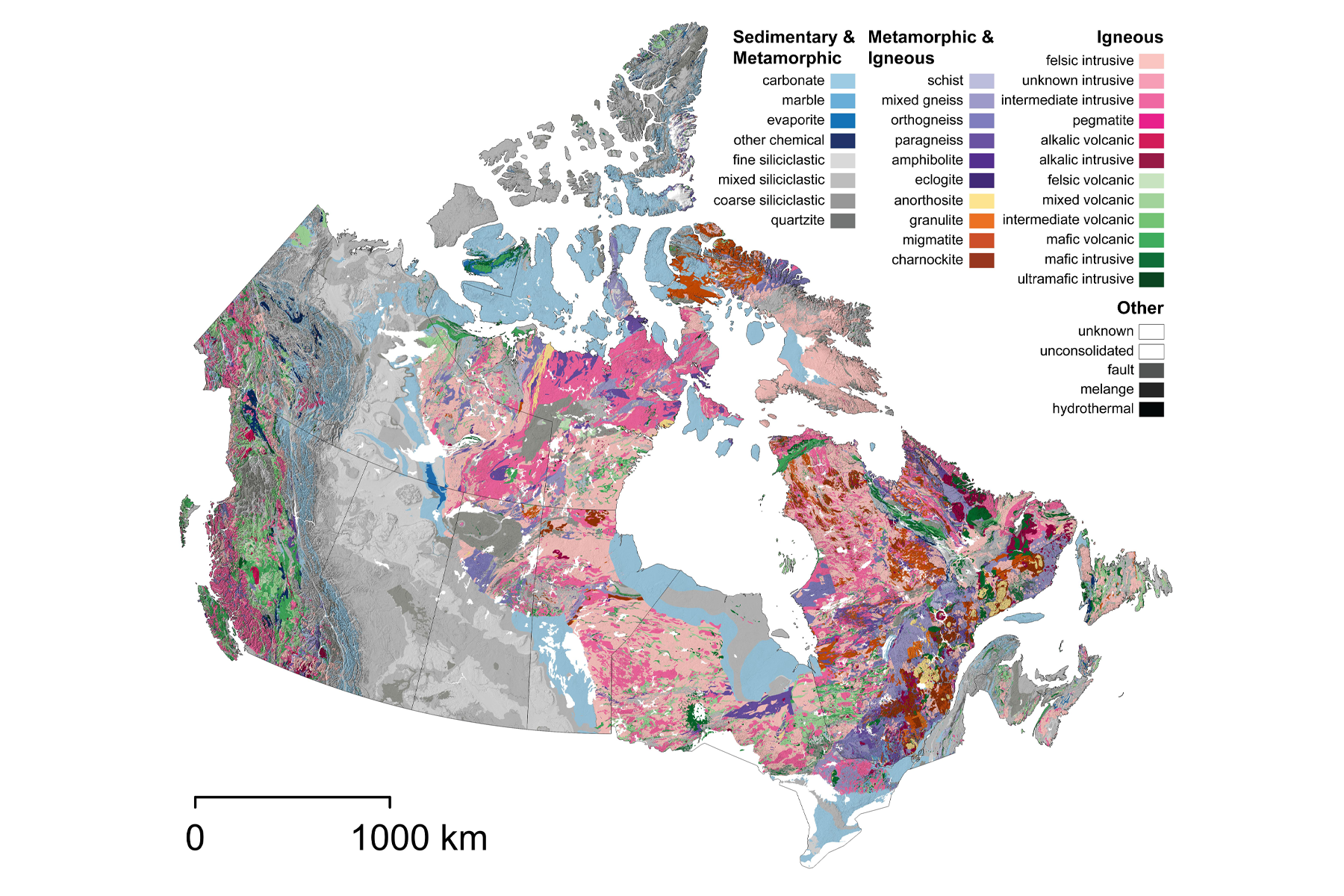
Country-Wide GIS Compilation — Partnership with Natural Resources Canada
Ability to manage large-scale GIS compilation; cleaning, correcting, and harmonizing hundreds of thousands of geological polygons to produce a nationally consistent digital bedrock map.
-
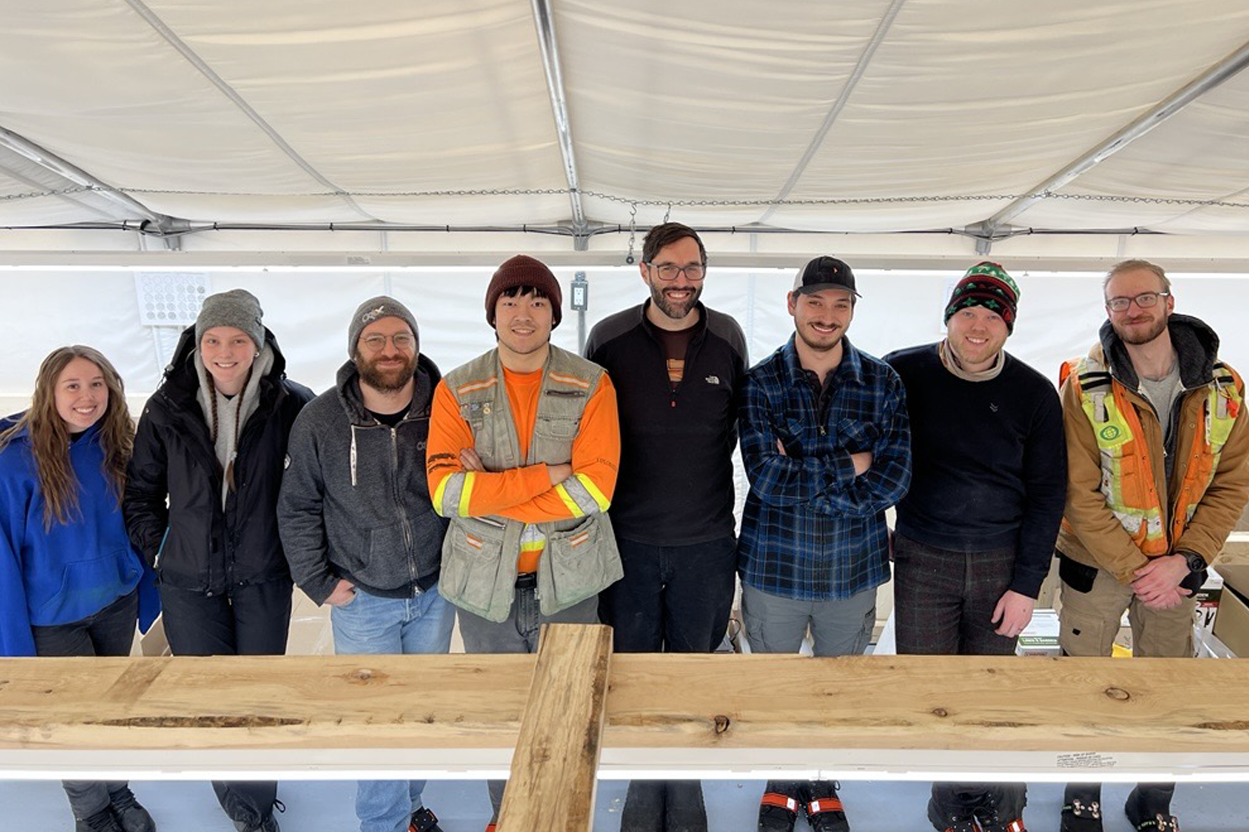
Successful Inaugural Grassroots Gold Exploration Drill Program
Demonstrating exceptional field readiness and technical expertise by seamlessly managing a fast-paced, weather-dependent drill program and generating the insights needed to advance exploration in real time.
-
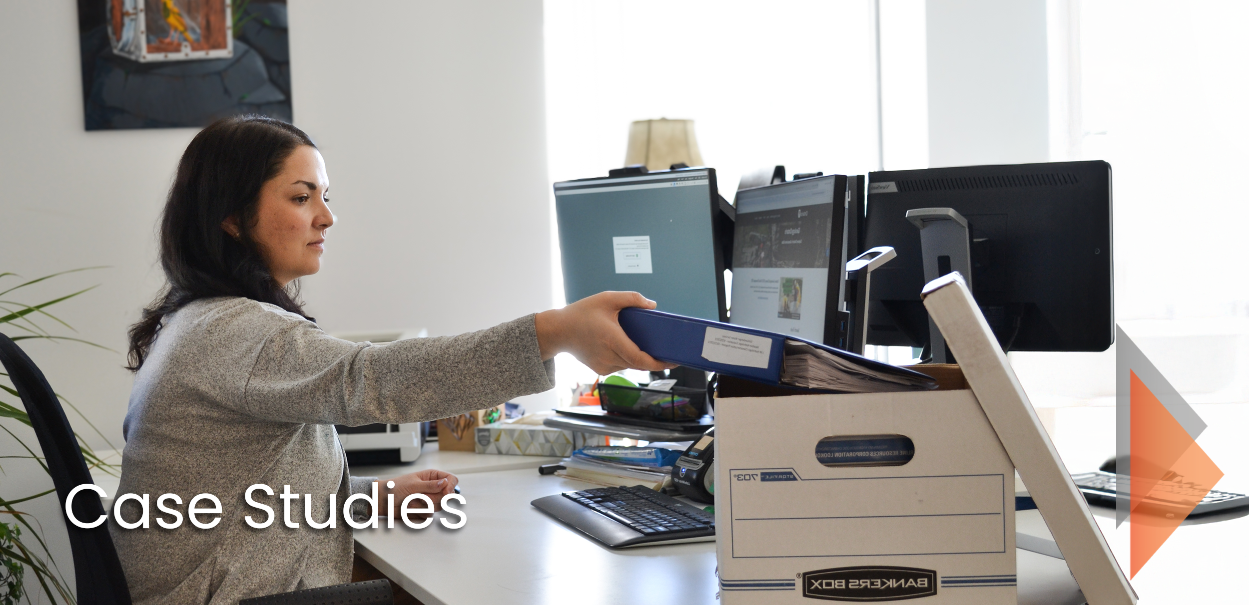
Data Optimization to Support Resource Estimation Validation
Scanning and transforming 30,000 historical mining records into a searchable digital archive
-
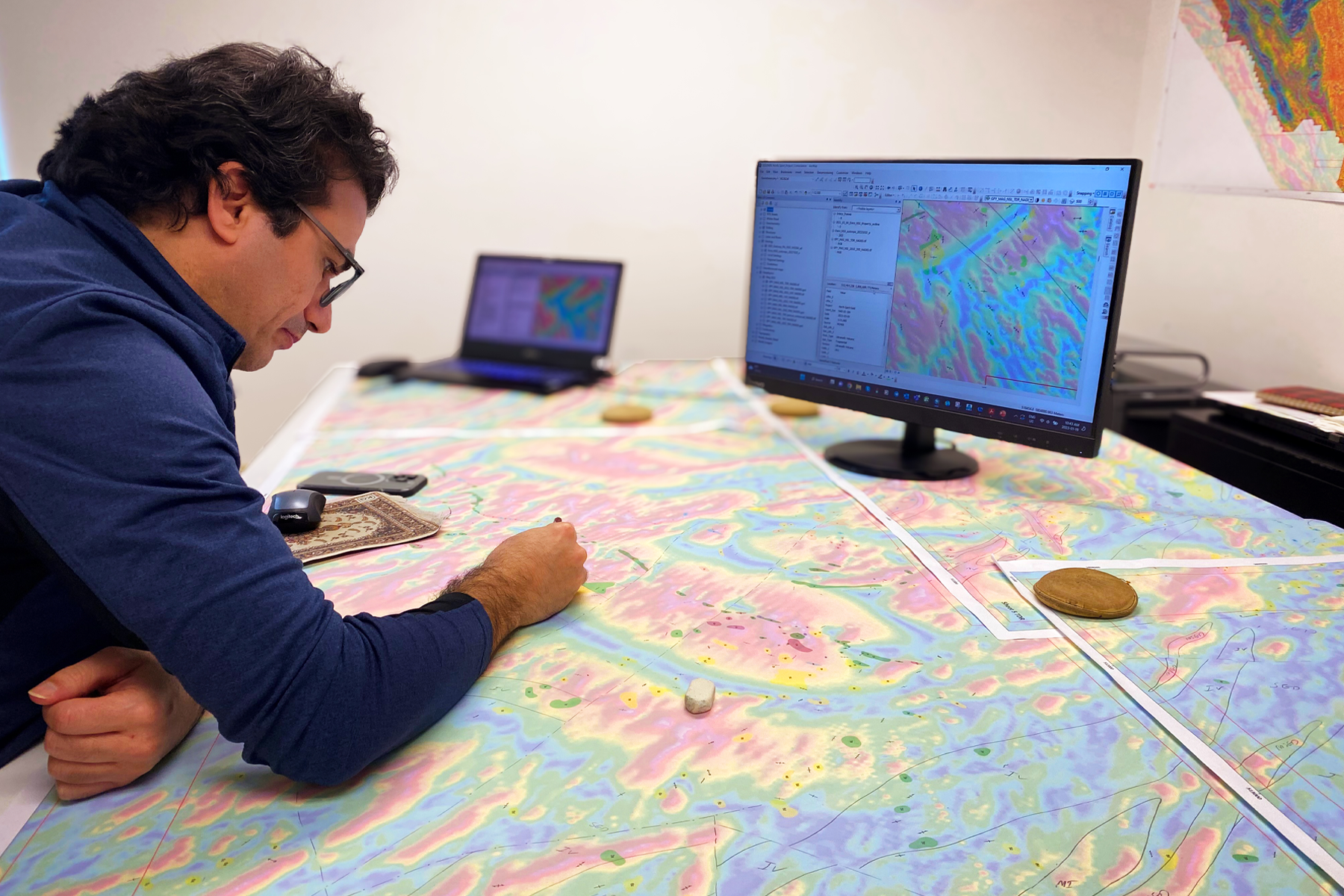
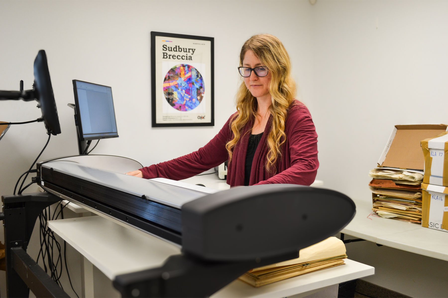
Advanced Lithological and Structural Interpretation
Increasing confidence in geological understanding of a project by transforming fragmented historical information into a cohesive lithological–structural framework that leads to the identification of new exploration opportunities.
-
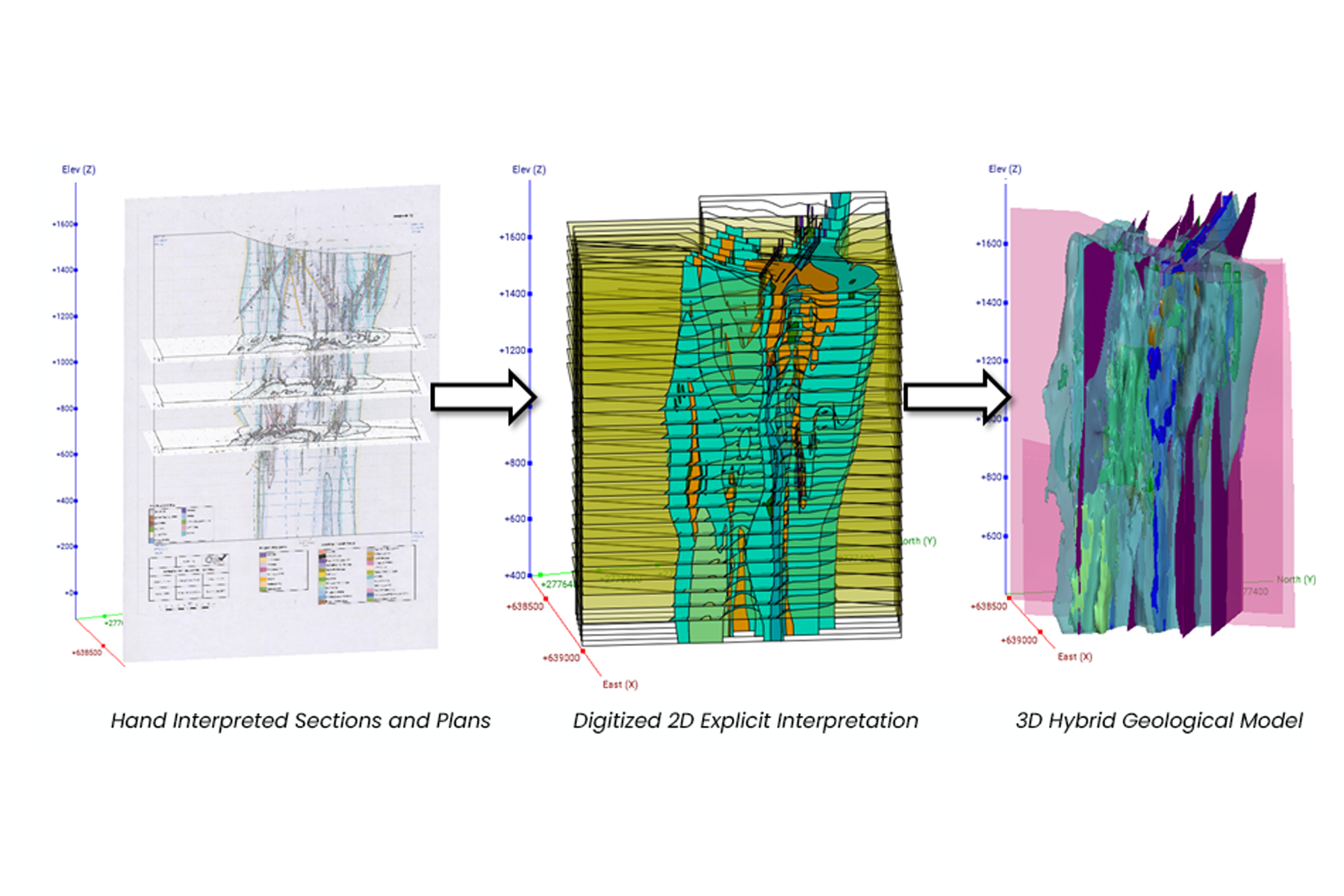
Increasing the Geological Understanding of Projects Through a Multiphase 3D Modelling Approach
Integration of detailed “datacube” interpretations with hybrid implicit modeling, delivering a validated 3D geological model that clarified complex deposit geometry and directly guided the client’s next phase of drilling and exploration.
-
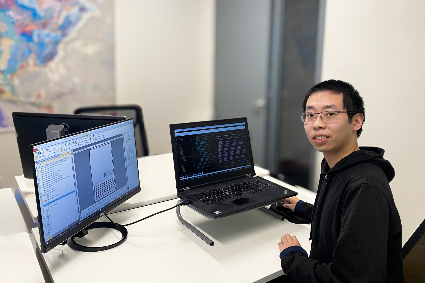
Efficient Digital Data Cleaning, Organization and Management to Empower Teams and Find Opportunities
Systematic, two-phase data cleanup and organization workflow of an extensive archive of digital files into a coherent, project-ready dataset, enabling the client to quickly access critical technical information and support key exploration milestones.