MAP & DOCUMENT SCANNING
Unlocking value from your historical paper data
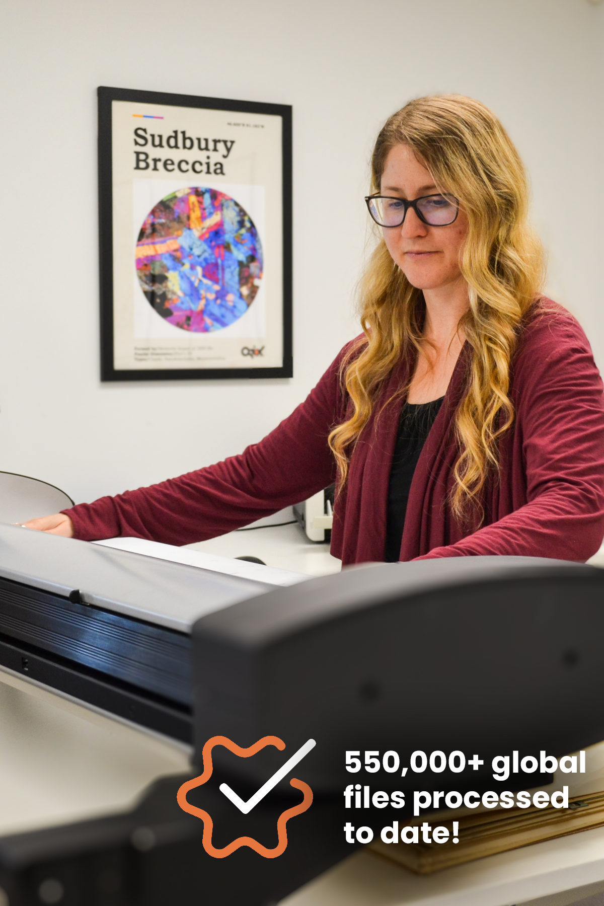
We have expertise indexing and digitizing large amounts of paper data (maps, drill logs, level plans, assay certificates, and administrative documents) stored in offices, warehouses and vaults. This data is valuable and can help teams make informed decisions. Our proven process turns historical and modern datasets into accessible, standardized, and usable information, increasing the technical understanding of projects, reducing uncertainty, and driving measurable value for current and future projects.
✓ LARGE FORMAT MAPS - Up to 44" wide, high-resolution outputs
✓ MULTI-FORMAT DOCUMENTS - Drill logs, assays, reports, photos, etc.
✓ SECURE SHIPPING & EFFICIENT PROCESSING - Weekly progress reports
✓ CUSTOMIZABLE CATALOGING - Project name, location, date, document category (geology, drilling, geophysics, structure, geochemistry), etc.
✓ USABLE, SEARCHABLE, STANDARDIZED & ACCESSIBLE DATASETS - Enabling teams, Optical Character Recognition (“OCR”)