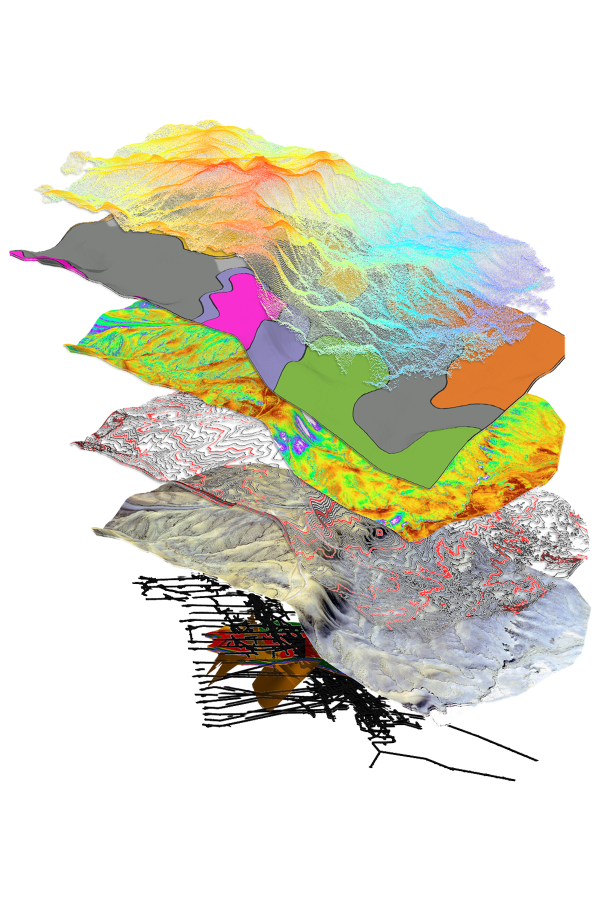
GIS COMPILATION & DATA ANALYSIS
Comprehensive & Usable Datasets, Spatial Exploration Intelligence
Up to date GIS datasets enable teams to interpret, target, and make decisions confidently, driving current and future projects forward. We source, compile, merge, and transform complex geoscientific data (geophysics, geochemistry, geological, drilling), from both public and proprietary sources, into usable and compatible formats. Applying advanced geological and spatial analysis from our experienced team, we help companies understand and visualize their data and identify technically sound opportunities.
✓ DATA SOURCING – Public and proprietary, country-wide to project scale
✓ INTEGRATED GEODATABASES – Migrated, validated, standardized
✓ GEOREFERENCING, DIGITIZING & DATA EXTRACTION- Metadata capture
✓ MULTI-COORDINATE SYSTEMS & MINE GRID CONVERSIONS – Standardizing datasets into one coordinate system