Aaron Francis
BA, GIS (PG)
Geomatics Supervisor - GIS Specialist & UAV Lead
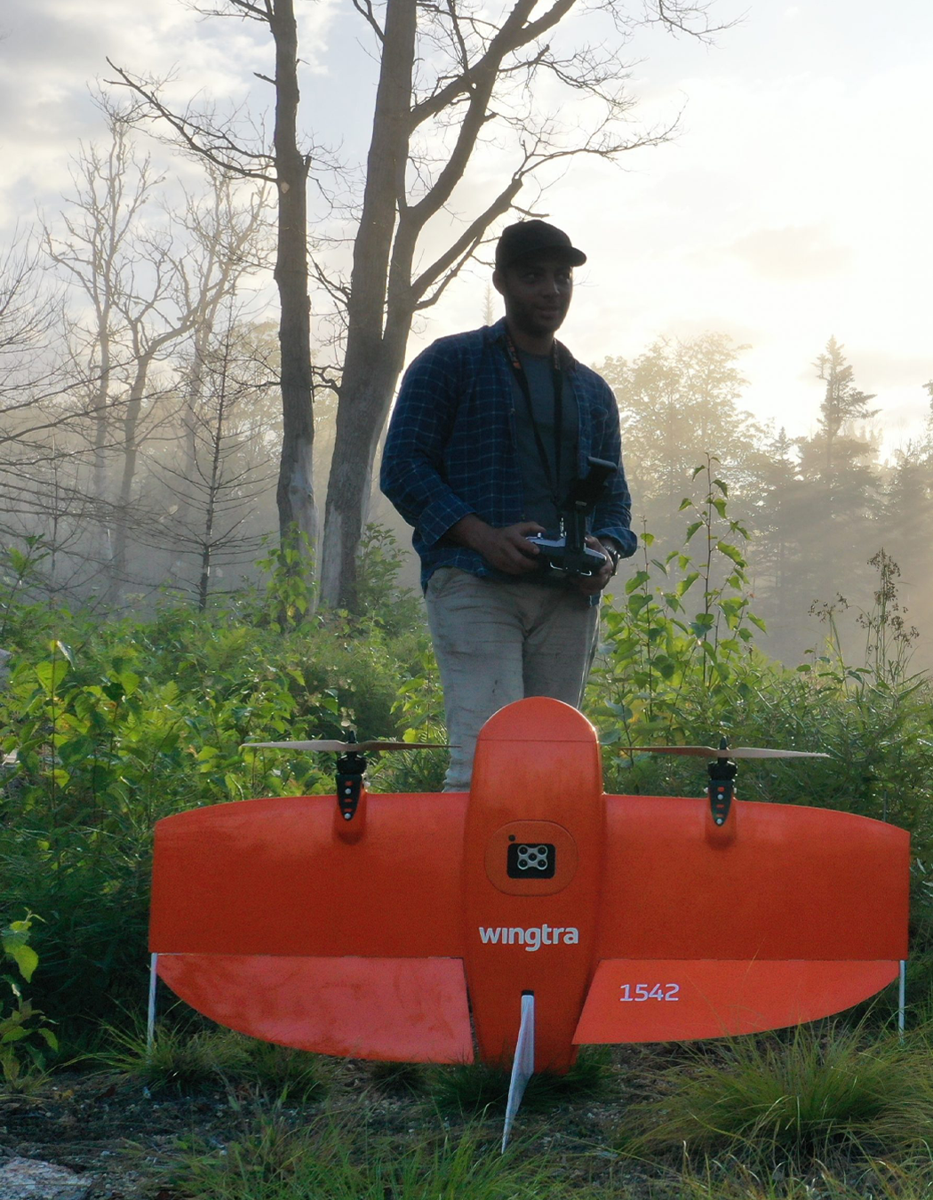
Aaron joined the Toronto office in 2017 and specializes in systematically extracting and integrating large geological datasets into standardized and usable formats for the purposes of interpretation, target generation, and shareholder/investor communication. He is Orix’s lead UAV drone pilot, capturing high resolution data for further spatial analysis. Aaron earned a BA in Geography from Brock University and a Graduate Certificate in Geographic Information Systems & Geospatial Management from Niagara College, and also holds an Advanced UAV certification.
Aaron once worked as a backcountry canoe guide.
Highlighted Skillsets
Geomatic and spatial analysis expertise
Global data sourcing and advanced GIS compilations
High resolution drone surveys and data processing